

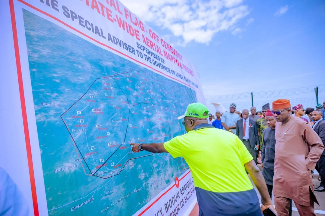
Ekiti State Governor, Mr. Biodun Oyebanji, on Wednesday flagged off a state-wide 3D drone aerial mapping project aimed at revolutionizing land administration, attracting investment, and supporting sustainable development.

Speaking at the launch ceremony held at the Ekiti Agro-Allied International Cargo Airport in Ado-Ekiti, Governor Oyebanji described the initiative as a “game changer” for the state.
He said the mapping project will enhance urban planning, eliminate land fraud, and provide seamless access to land data.
“This marks a major shift in how we manage land in Ekiti. It will eliminate land grabbing, prevent fraudulent transactions, and attract investors with its transparency and efficiency,” he stated.
The Special Adviser on Lands, Survey and e-GIS, Prof. James Olaleye, said the month-long exercise will utilize cutting-edge geospatial technology to improve land tenure security and infrastructure development. He noted it will also boost internally generated revenue.
Surveyor Olajugba Oluropo, the contractor in charge, praised the state government’s vision and pledged timely, high-quality delivery of the project.
The event ended with the takeoff of the mapping aircraft, signaling the official start of the aerial survey.
Let me know if you want this adapted for radio, social media, or a press release format too.

